Discounts on Florida Vacation Homes / Book your Dream vacation..CLICK HERE.

LRS Aerial Solutions
  • Home
  • Aerial Photography
  • Aerial videography
  • Drone Equipment
  • Aerial inspections
  • Mapping & Scanning
  • Thermography
  • 3D Modelling
  • Disaster Response
  • Search & Rescue
  • Drone Consulting
  • More
    • Home
    • Aerial Photography
    • Aerial videography
    • Drone Equipment
    • Aerial inspections
    • Mapping & Scanning
    • Thermography
    • 3D Modelling
    • Disaster Response
    • Search & Rescue
    • Drone Consulting
LRS Aerial Solutions
  • Home
  • Aerial Photography
  • Aerial videography
  • Drone Equipment
  • Aerial inspections
  • Mapping & Scanning
  • Thermography
  • 3D Modelling
  • Disaster Response
  • Search & Rescue
  • Drone Consulting

QUANTUM SYSTEMS TRINITY F90+
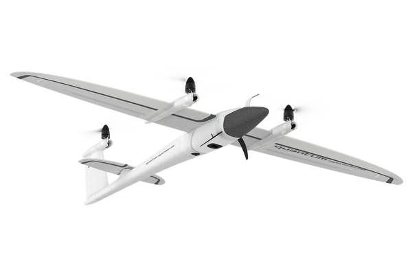
QUANTUM SYSTEMS TRINITY F90+
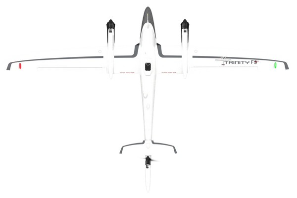
VTOL FIXED WING MAPPING DRONE


Launch From Just About Anywhere With VTOL Capabilities


  • Take Off And Land From Anywhere
  • 90+ Minutes of Flight Time
  • Wide Selection of Precision Payloads
  • PPK via iBase GNSS Reference Station
  • Free QBase 3D Mission Planning Software


Quantum Systems Trinity F90+(TI100971)

Call For Pricing

IN STOCK

CALL 863-399-9430

Email. lrsaerialsolutions@gmail.com


The Trinity F90+ aircraft is a fixed wing drone capable of vertical takeoffs and landings, and autonomous flight. Because of its long flight time and 7.5km range, the Trinity can cover 20x the area in a single flight compared to a typical multi-rotor. This allows for more efficient mapping missions, less time in the field, and less equipment to carry around with you.

TRINITY F90+

Check out this amazing video thanks to Quantum Systems

Copyright © 2021 LRS Aerial Solutions - All Rights Reserved.


Powered by GoDaddy